
Special Sessions
The MedGU-25 scientific committee invites abstracts of research papers on all cross-cutting themes of Earth and planetary sciences, with a main focus on these Conference Tracks.
Submissions for additional conference tracks (e.g., special sessions and satellite events) are solicited from the scientific community by June 10, 2025.
Discover the Special Sessions held during the MedGU-24 in Barcelona to gain an understanding of the previously accepted special sessions.
If you are interested in proposing a special session and/or satellite event, please send your proposal to contact@medgu.org.
The lead convener of each special session / satellite event with 10 or more participants will benefit from a free registration.
Below is a list of the approved special sessions. Click on each special session to learn more about its scope:
Track 15 (Special Session): Understanding of Mineral Resources from Advancing Models of Ore-Forming Systems
Mineral resources, in particular critical mineral-metal deposits, are becoming more important to societal needs as we progress to a greener economy. Since the Industrial Revolution, we have already been an epoque where we need more metal output too much greater than present production. The important portion of this output is of critical metals in order to use in green technologies. We need more and fast mining with responsibility and sustainability. Considerable advances have been made in most fields of understanding mineral resources, building more holistic models from all aspects of geoscience. These exciting advancements have led to important changes in how we look at dissecting magmatic hydrothermal systems. We welcome all contributions to mineral resources science and models for ore-forming systems.
Conveners

Panagiotis Voudouris
University of Athens University Campus, Athens, Greece


Tolga Oyman

David R Lentz
Keynote Speaker(s):
Nigel J. Cook
Track 16 (Special Session): Landslides: Processes, Hazard and Risk
Landslides can have devastating direct and indirect consequences, including fatalities, property damage, loss of livelihoods, and the transfer of sediment across a wide range of environments, from steep mountainous terrain to gentle hillslopes. Frequently occurring within multi-hazard contexts, landslides may be preconditioned or triggered by earthquakes, intense or prolonged rainfall, wildfires, land use changes, and other human-related activities. In turn, they can give rise to secondary hazards such as flash floods or landslide dams, forming complex cascading events. Addressing landslide phenomena remains a major challenge for the geoscience community, requiring a comprehensive understanding of underlying processes and thorough assessments of hazard, vulnerability, and risk. The implications of ongoing climate change further complicate the framework. This session aims to bring together researchers working across the full spectrum of landslide science. Its scope spans from local to global scales, encompassing empirical studies of landslide process chains, advances in modeling and monitoring techniques, innovative methods in landslide susceptibility, hazard and risk assessment, state-of-the-art approaches to landslide prediction and early warning, assessments of socio-economic vulnerability, and investigations into the interactions between landslides, human activities, and other natural extremes.
Please feel free to download and share the call for papers.
Conveners

Tolga Görüm
Istanbul Technical University, Istanbul, Türkiye


George Papathanassiou
Track 17 (Special Session): Land Subsidence: Triggers and Monitoring
Land subsidence occurs at various scales, ranging from meter-sized sinkholes to large depressions hundreds of meters long, to much wider-scale subsidence zones. The processes involved are solutional and mechanical removal of subsurface material, at varying rates depending on the rock solubility and hydro-mechanical conditions. Whether subsidence can be monitored and predicted both in time & space, strongly attracts current research foci, as it influences the hazard and damage that this phenomena can produce. Triggers of subsidence, whichever scale, are still poorly understood and range from hydro-mechanical processes, over earthquakes, storm surges and wave actions, over human influence such as mining and water management. Often subsidence may occur as or trigger secondary hazards such as landslides and rock-falls, so multi-cascade events are also common.
Due to the variety of the relevant deep, near-surface and surface processes and the background conditions, not a single method stands out for monitoring subsidence. In fact, a multi-method approach is necessary to answer questions related to triggers, monitoring and early-warning. This session aims to bring together researchers working across all scales of subsidence science. We hence invite contributions from different geoscientific fields and different methodological approaches, such as (but not limited to) remote sensing, AI-supported methods, GNSS, field-surveys with geological mapping, hydrogeophysics, seismological observation and numerical modeling.


Please feel free to download and share the call for papers.
Conveners


Constantinos Loupasakis


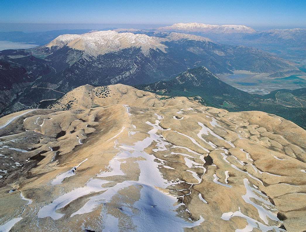
Track 18 (Special Session): Mountains of the Mediterranean: Glaciers, Climate, and Human-Environment Interactions
This session highlights Mediterranean mountain regions as dynamic natural laboratories that preserve rich archives of environmental, climatic, and human histories. We invite contributions that investigate glacier fluctuations, paleoclimate reconstructions, and landscape evolution from the Quaternary to the Holocene, with a particular interest in interdisciplinary studies that link physical and ecological processes. Research drawing on geomorphology, paleoecology, geoarchaeology, and paleoenvironmental sciences is welcome, especially studies that utilize advanced dating methods (e.g., cosmogenic nuclide dating, radiocarbon, OSL), sedimentological and geochemical analyses, and biological proxies. We encourage innovative approaches that explore interactions between climate, ecosystems, and human activity in these sensitive and culturally significant high-elevation environments.
Conveners

Track 19 (Special Session): Innovative Methodologies in Geohazard Monitoring and Assessment: UASs, LiDAR, AI, and Geodetic Tools
This session focuses on remote sensing data collection techniques and their integration through advanced geospatial and analytical methodologies for monitoring and assessing geohazards in the Mediterranean region, while also welcoming global insights. The Mediterranean Basin is an active region prone to earthquakes, volcanism, landslides, tsunamis, floods, and coastal erosion, due to its physical, geographical, and tectonic characteristics. Innovative tools like UAS-based photogrammetry, airborne and terrestrial LiDAR, AI-driven classification models, InSAR, GNSS, and optical imagery correlation have opened new frontiers in hazard detection, deformation mapping, and risk mitigation.
We welcome multidisciplinary contributions that present novel methodologies, real-world applications, and integrated workflows that enhance the understanding of geohazard processes. We particularly encourage case studies utilizing multi-sensor fusion, machine learning for hazard forecasting, real-time monitoring platforms, and open-access mapping systems. Contributions addressing change detection at various scales, post-event response (e.g., coseismic rupture mapping, surface deformation, etc.), pre-disaster risk assessment, or long-term hazard modeling are strongly encouraged.
This session aims to foster collaboration among Earth scientists, geodesists, computer scientists, and hazard managers while providing a platform for exchanging knowledge and experiences from across the Mediterranean and beyond.
Conveners
Emmanuel Vassilakis

Orkan Özcan
Istanbul Technical University, Istanbul, Türkiye
Track 20 (Special Session): Urban Climate Systems: Drivers, Impacts, and Response Strategies
Urban areas are dynamic, evolving ecosystems where natural processes and human activities interact in complex ways, shaping distinct local climate and weather conditions. These interactions give rise to multifaceted challenges such as Urban Heat Islands (UHIs), deteriorating air quality, and localized microclimates—all of which influence not only the physical environment but also human thermal perception and comfort. This session provides a platform to explore the intricate dynamics of urban climate, with a focus on how climatic factors affect both environmental systems and human well-being. Key topics include UHIs, air quality, microclimates, extreme urban weather events (such as heatwaves and flash floods), human thermal comfort, and urban climate resilience. Through case studies, expert insights, and interactive discussions, participants will gain a comprehensive understanding of the complex interplay between climate variables and urban form. The session will also examine the implications for urban planning, public health, and sustainability strategies. Ultimately, attendees will be equipped with the knowledge and tools necessary to navigate the challenges of urban climate variability and to develop informed, adaptive solutions that enhance both the resilience and livability of cities.
Conveners

Panagiotis Nastos
Andreas Matzarakis
Former Director of the Research Centre Human Biometeorology of the German Meteorological Service, Germany
Track 21 (Special Session): From Data to Decisions: Artificial Intelligence Approaches in Natural Hazard Science
Natural hazards increasingly impact our societies through direct consequences like loss of life and property damage, and through cascading effects that amplify initial disasters. Traditional hazard assessment methods, while valuable, often struggle with the complexity, scale, and real-time demands of modern hazard management. Artificial intelligence offers promising approaches to address these challenges by extracting meaningful patterns from vast Earth observation datasets and translating them into actionable insights for decision-makers.
This session explores how AI techniques—from machine learning to deep learning approaches—are enhancing our ability to predict, monitor, and respond to various natural hazards including floods, wildfires, droughts, and erosion. We welcome contributions showcasing innovative AI applications across the hazard management cycle, from early detection and susceptibility mapping to real-time monitoring and post-disaster assessment.
Conveners
Meriame Mohajane

Meriam Lahsaini
(CNR) Via Moruzzi 1 - 56126 Pisa, Italy
Abdennabi Alitane
Mohamed Ouarani
Abdessalam Ouallali
